 What We Offer
 Integrated Coastal and Marine Use Zoning
Strategic allocation of marine space for multiple uses (e.g., tourism, fisheries, conservation)
Spatial conflict analysis and compatibility modeling
Development of zoning maps for regulatory and planning authorities
Baseline Data Collection & Mapping
Bathymetric, habitat, and oceanographic data acquisition
Marine ecological baseline surveys (corals, seagrass, mangroves)
GIS-based spatial database development
Environmental Sensitivity Index (ESI) Mapping
Identification of critical and sensitive habitats
Mapping of oil spill risk areas, breeding grounds, and biodiversity hotspots
Risk zoning for marine industrial activities
Decision Support Tools
Spatial modeling to evaluate future development scenarios
Cumulative impact assessments
Interactive geospatial platforms for stakeholder engagement
Policy and Regulatory Support
Development of MSP frameworks and guidelines
Technical input for marine and coastal EIA regulations
Alignment with national strategies and international conventions (e.g., UNCLOS, CBD, SDG14)
 Tools and Techniques
Geographic Information Systems (GIS) & Remote Sensing
Stakeholder consultation & participatory mapping
Habitat suitability and spatial conflict modeling
Custom dashboard development and data visualization
Integration with hydrographic, ecological, and socio-economic data
 Applications
Coastal zone management and shoreline protection planning
Marine infrastructure planning (ports, marinas, energy projects)
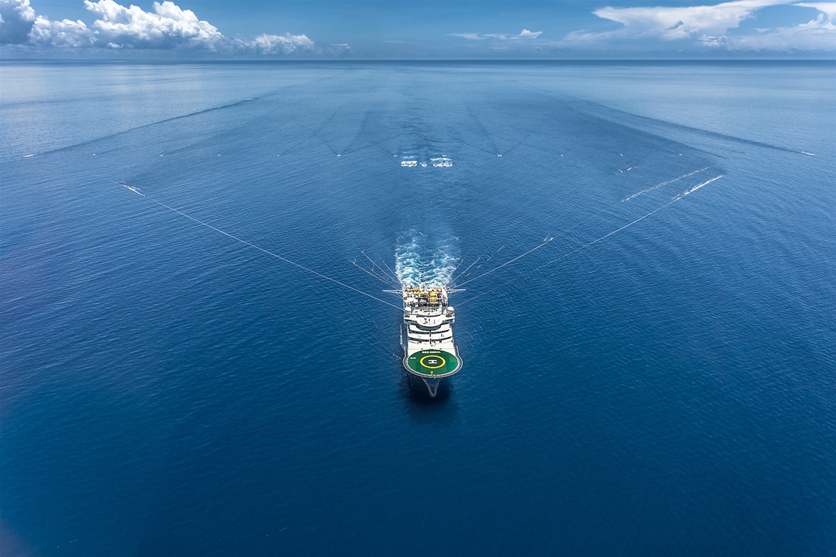
Offshore aquaculture and fisheries management
Marine tourism zoning and eco-tourism planning
Marine Protected Area (MPA) design and monitoring
Support for IFC-compliant Environmental and Social Impact Assessments (ESIAs)