Our Capabilities Include
 Bathymetric Surveys
Single-beam and multi-beam echo sounding (MBES)
Generation of detailed depth contours and digital terrain models
Pre- and post-dredging volume calculations
Side-Scan Sonar Surveys
Acoustic imaging of the seafloor
Detection of obstructions, wrecks, and seabed features
Ideal for subsea cable, pipeline route assessments, and marine archaeology
Sub-bottom Profiling
Identification of sediment layers and buried objects
Supports geotechnical investigations and habitat analysis
Tidal and Current Measurements
Tidal zoning and chart datum computations
ADCP deployment for current velocity and direction profiling
Long-term and real-time tide monitoring with data loggers
Seafloor & Water Column Characterization
Sediment composition and benthic habitat mapping
Water column profiling (CTD, ADCP, Weather Stations)
Vegetation and seagrass mapping
 Survey Applications
Navigation clearance and obstruction verification
Coastal development and shoreline engineering support
Offshore platform and drill barge positioning
Harbor and marine terminal construction
Environmental baseline and impact surveys
Oceanographic and marine ecological studies
Monitoring and performance verification of dredging and marine contracts
Updating navigation and hydrographic charts
Coastal zone management and marine spatial planning
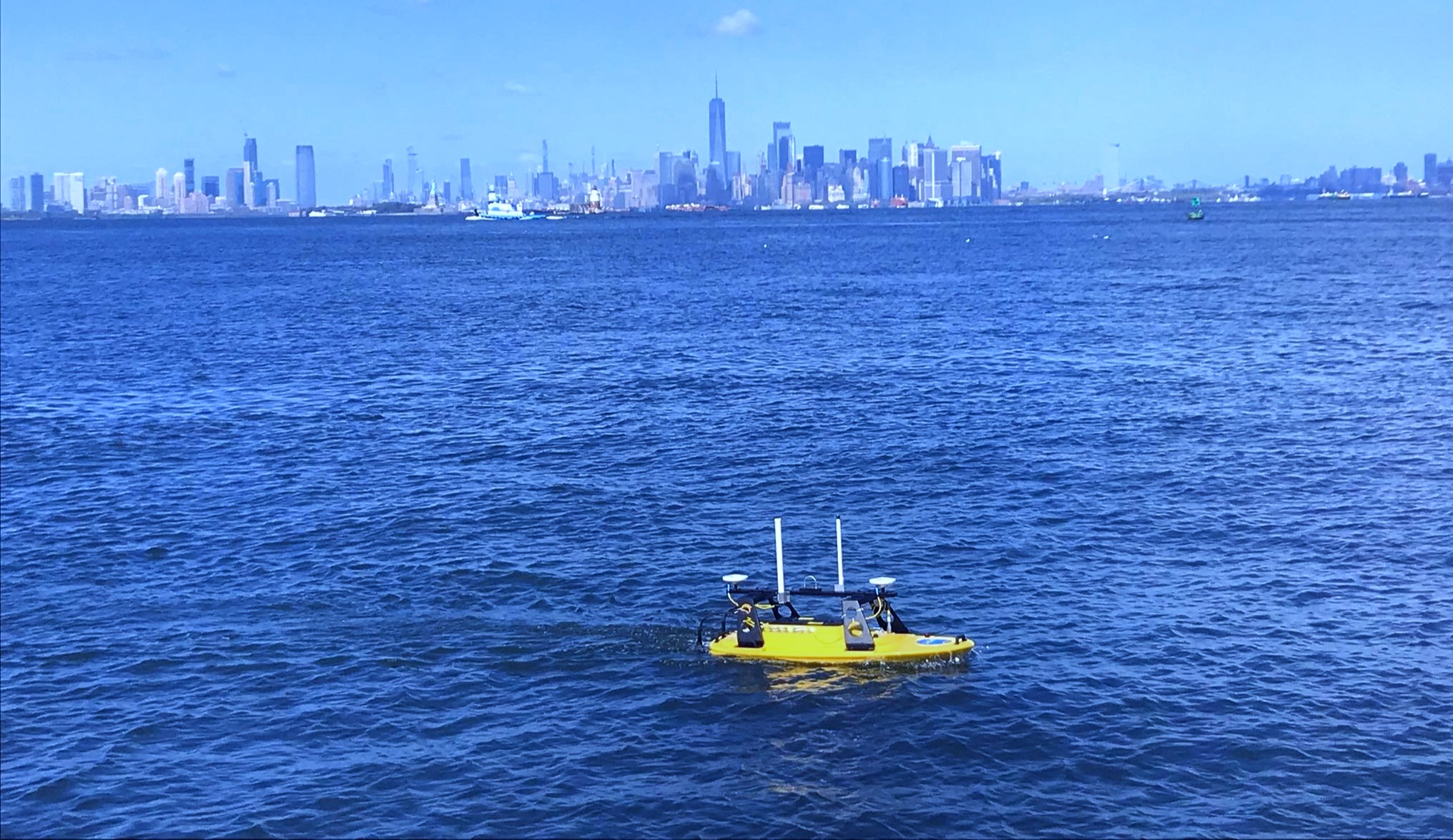
 Technology We Use
Multi-beam and single-beam echo sounders
Side-scan sonar and sub-bottom profilers
RTK GNSS positioning systems
ADCPs, CTDs, tide gauges, and met-ocean stations
GIS software and hydrographic data processing suites
 Our Expertise
At OceanSciTech, we invest in both people and technology. Our hydrographic survey department is staffed by qualified hydrographic engineers, technicians, and operators, all equipped with fully integrated survey systems. We maintain the flexibility to scale from small harbor surveys to complex offshore operations at depths exceeding 300 meters.
 Why Choose OceanSciTech?
End-to-end hydrographic services from feasibility to final reporting
Seamless integration with marine environmental and ecological assessments
Full compliance with international standards (e.g., IHO, IFC PS6, EIA regulations)
Rapid mobilization and operational reliability
Commitment to safety, accuracy, and innovation